Oxford Trail alignment causes disagreement between city and property owners
As Oxford moves forward with Phase Five of its multimodal trail, the most recent alignment has caused concern for some property owners whose land is on its path.
Disagreements with property owners are leading to tension as Oxford prepares to begin construction on Phase Five of the Oxford Area Trail System (OATS).
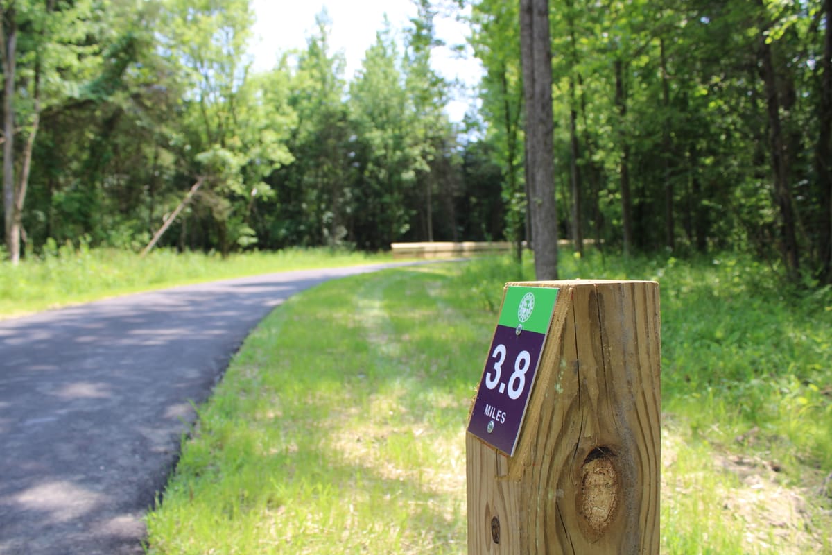
Last year, Oxford completed work on two portions of OATS: Phase Three from Peffer Park to Talawanda High School, and Phase Four from Oxford Community Park to Talawanda Middle School. Phase Five is set to be constructed for $6.6 million this year to connect the middle and high schools.
During a City Council meeting Feb. 18, Service Director Mike Dreisbach said this phase will require easements on 11 different properties. While the city reached agreements with landowners for nine of those properties, negotiations on two of them fell through, prompting Dreisbach to introduce two resolutions declaring the city’s intent to acquire easements on the properties.
Those resolutions, both of which passed unanimously, do not enable the city to acquire the easements through eminent domain, though they do represent an escalation in negotiations.
Chris Shoker and Lara Osborne each have an interest in the properties which haven’t been acquired yet and spoke strongly against the resolutions Tuesday night.
The preliminary plan from April 2023 looked sound, Shoker said, but a series of revisions led to a new design last June. Surveyors and engineers contracted by the city conducted studies on Shoker and Osborne’s property without their knowledge, he said.
“We didn’t have a say in what the city was going to choose to do with our land. I bet you would not like it if I showed up at your house and started cutting through your backyard, doing geotechnical work.”
According to a staff report, the total fair market value for the easements on the parcels addressed Feb. 18 is just over $130,000, including $55,000 for the property Osborne is a trustee for. Shoker had asked the city not to send contractors onto their property until a final route was chosen, he said, but people went onto the parcel afterward anyway. While the OATS standard width is 10 feet, Shoker said the easement being asked for is up to 90 feet wide at points.
A preliminary alignment map from August 2023 showed a portion of the trail following the railroad tracks from Chestnut Street south to a connection at Peffer Park. An updated map from Nov. 2023 showed a new connection extending from Gardenia Drive up to Chestnut Street to the west of the former landfill instead of to the east, more heavily impacting property in Osborne’s name according to records with the Butler County Auditor.
Shoker and Osborne plan to develop the property into a housing complex. Shoker said if discussions had been more direct from the start, the trail could have been incorporated seamlessly without issue.
Osborne, the trustee for the property, said she views it as her pension. While she wanted the eventual development to provide housing and incorporate the bike trail, she said, long gaps in communication from the city made that difficult. The resolution which council voted in favor of Feb. 18 was to “put property owners on official notice,” language which she said was jarring during the meeting.
“We want the bike trail on our property,” Osborne said, “but we want this done in a way that doesn’t cost me my economic future, impoverish me.”
After the public comments from Osborne and Shoker, Dreisbach said he believed the city had followed the correct procedure and was still open to negotiations.
“It’s difficult when you’re dealing with multiple property owners with multiple objectives to get one solution that’s going to please everyone,” Dreisbach said. “Unfortunately that’s the case here, but again tonight we’re asking simply for a resolution of necessity. We will continue to work with the two property owners that we need to get easements for.”
Phase Five of the OATS will cost $6.6 million, $3 million of which is being paid for with grants. Dreisbach said those funding sources add an additional layer of urgency to determining the exact path the trail will follow.
In addition to the resolutions of necessity, council approved an agreement with CSX Transportation, the company which has the right of way for the railroad which cuts through Oxford. Phase Five of the trail will include a pedestrian bridge over the railroad, and the agreement requires the city to put down a deposit of nearly $250,000 to cover all construction costs on CSX property.
Dreisbach said the city has little negotiating power with the railroad, and the agreement was necessary to move forward. The service department is working to minimize costs on CSX property.