What’s In a Name? Ohio
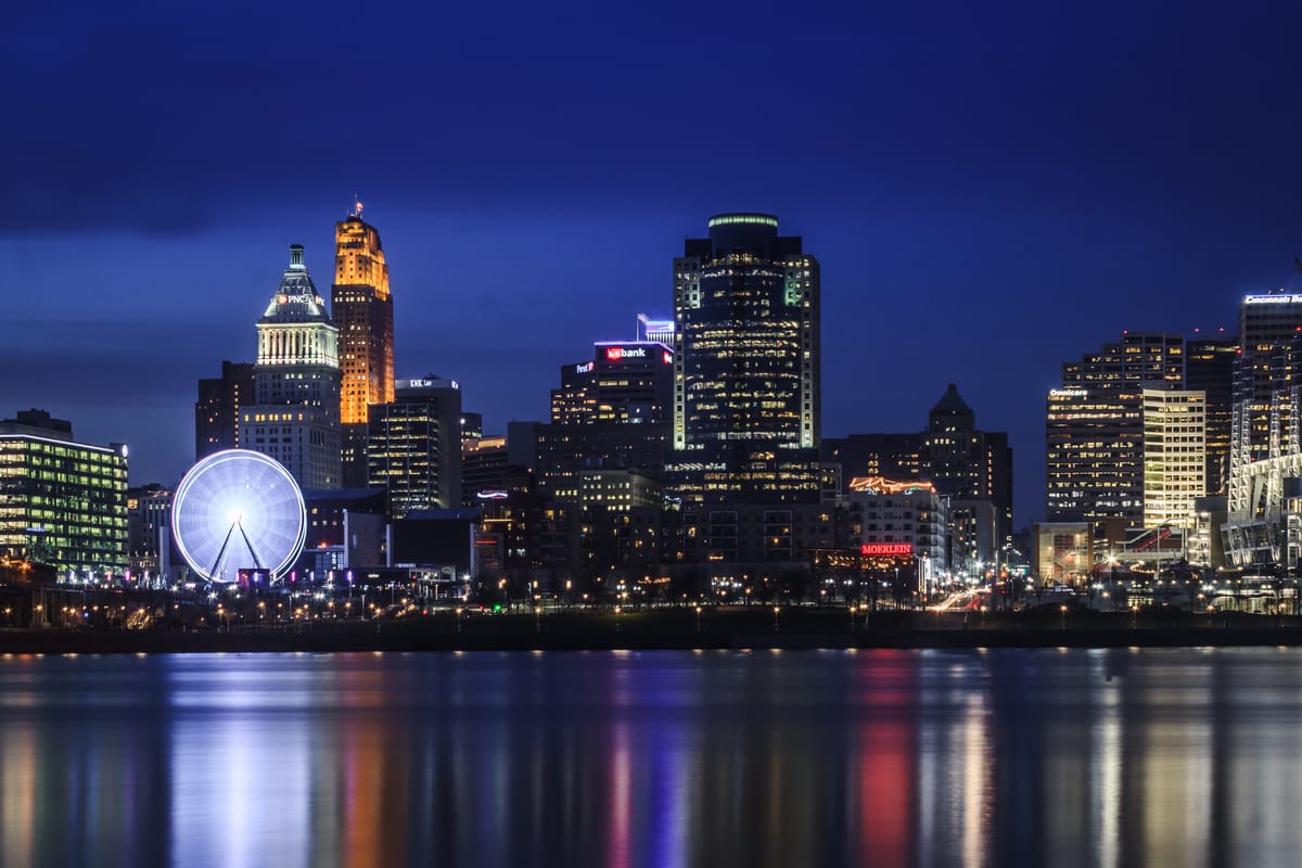
Ohio takes its name from the Ohio River, a major waterway which has defined the state's history.

We all know that our state takes its name from the river. The Seneca (Iroquois) dubbed it Ohi:yo', roughly pronounced O-hee-O, meaning "Good River." Less cheerfully, the novelist Alan Eckert called it “that dark and bloody river” — thousands died in brutal fighting between Native Americans and white settlers and armies in four decades from the mid-1700s on.
European powers and Indigenous nations contended for control of the Ohio Valley. The Iroquois, the Miami, the Shawnee and other Indigenous nations all sought to hold Kentucky and then the Ohio country for their villages and hunting grounds. Native forces sometimes fought each other and sometimes formed alliances. They played European powers, then America and Britain, against each other. The French were the first whites into the Ohio Valley, but they lost to the British in 1763. The Spanish sent gunboats up the Mississippi from New Orleans into the 1790s, all the while trying to bribe or cajole whites and Indigenes into an alliance with Madrid.
At the end of the Revolutionary War, the Valley became American in name in the 1783 Treaty of Paris. The document failed to mention Native rights. Indigenous nations bet on the British, who kept forts illegally in the region and supplied weapons to Native Americans until war in Europe diverted the crown’s resources, just as the United States was getting stronger. When the British stopped major aid to the “Northwest Indian Confederation” in 1794, the Native warriors could no longer defeat the superior numbers of Americans.
White writers and settlers had already described the Ohio Valley as close to paradise. One traveler called the region “without doubt, the most fertile country, with the most varied soil, the best watered, and that which offers to agriculture and commerce the most abundant and ready resources of all those which Europeans have ever discovered and peopled.” The whites of crowded England, Ireland, Germany and our eastern cities hardly needed such encouragement; they just kept moving west. The British controlled Lake Erie until the War of 1812, so the route to this “garden of the world,” as another observer exclaimed, was down the Ohio from Pittsburgh.
From its birthplace there as the Monongahela and the Allegheny join, the Ohio River flows south, then west and southwest to merge with the Mississippi at Cairo, Illinois. It’s another 1,000 miles to New Orleans. Floating on the Ohio to Cincinnati and further was hardly easy, given large ice floes in winter and low water in summer, while Native soldiers killed many a migrant on the water or the shore.
The Ohio is a boundary river. Along its 981-mile course (nearly 1600 kilometers), the river defines the Midwest and separates it from the East. At the same time, the Ohio delineates North from South, with the former slaveholding states of Virginia and Kentucky south of the river. The Northwest Ordinance, 1787, decreed that slavery would not be allowed above the Ohio River, in a vast area that eventually became Ohio, Indiana, Illinois, Michigan, Wisconsin, and parts of Minnesota. The country’s course toward civil war between free and slave states took a big step forward.
In the 1700s, no waterway in the East rivalled the Ohio River for transportation and economic importance. The Potomac is navigable for only a short distance above Washington, D.C.; the Delaware reached Philadelphia but not especially rich land or large towns beyond it. Virginia’s James River runs from the Allegheny Mountains to the Atlantic for 348 miles (560 kilometers), and New York’s Hudson River is 315 miles long. But the James to this day is navigable for only 90 miles, from Hampton Roads to Richmond. The Hudson, famed for its beauty in the eighteenth century, and flowing through good farmland, carries enough water to allow large ships only as far north as Albany, some 135 miles above New York City.
The Ohio had only one major obstacle to traffic, the “Falls” of the river around Louisville. But the boats of early America could use several channels to go further. Today, a system of locks makes it easy for barges and other vessels to move back and forth. The Ohio connected valuable iron ore deposits in Pennsylvania with the most important port in the Gulf of Mexico: New Orleans. Control of that city passed back and forth between the Spanish and French in the late eighteenth century until President Thomas Jefferson bought it from Napoleon in 1803. Given the rich soil and ore deposits near the Ohio, it quickly fed the growth of a whole string of cities, from Pittsburgh to Cincinnati to Louisville, then along the Mississippi to New Orleans.
Today, the Ohio River carries agricultural produce, coal, chemicals, timber and much more. Its role in our economy is still huge. Sadly, the Ohio is America’s most polluted waterway. Yesterday’s garden is gone. As old factories die, the Ohio improves somewhat. Yet, despite the Clean Water Act of 1972, industrial waste still flows into the water. Farm runoff remains a major source of pollution, despite many efforts to limit it. Like fighting wildfires, cleaning up the river is a job that requires national attention and resources.
Robert W. Thurston, Professor Emeritus at Miami, is working on a history of the Early Republic and the Northwest wars.


